Scenic Drives Near Yosemite
Routes Worth Taking Slow
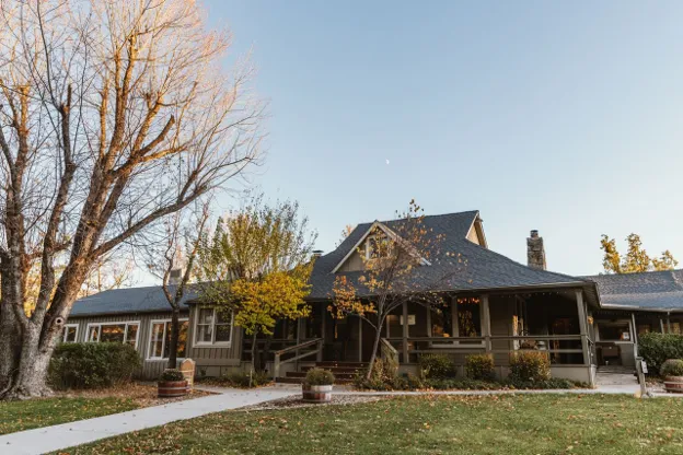
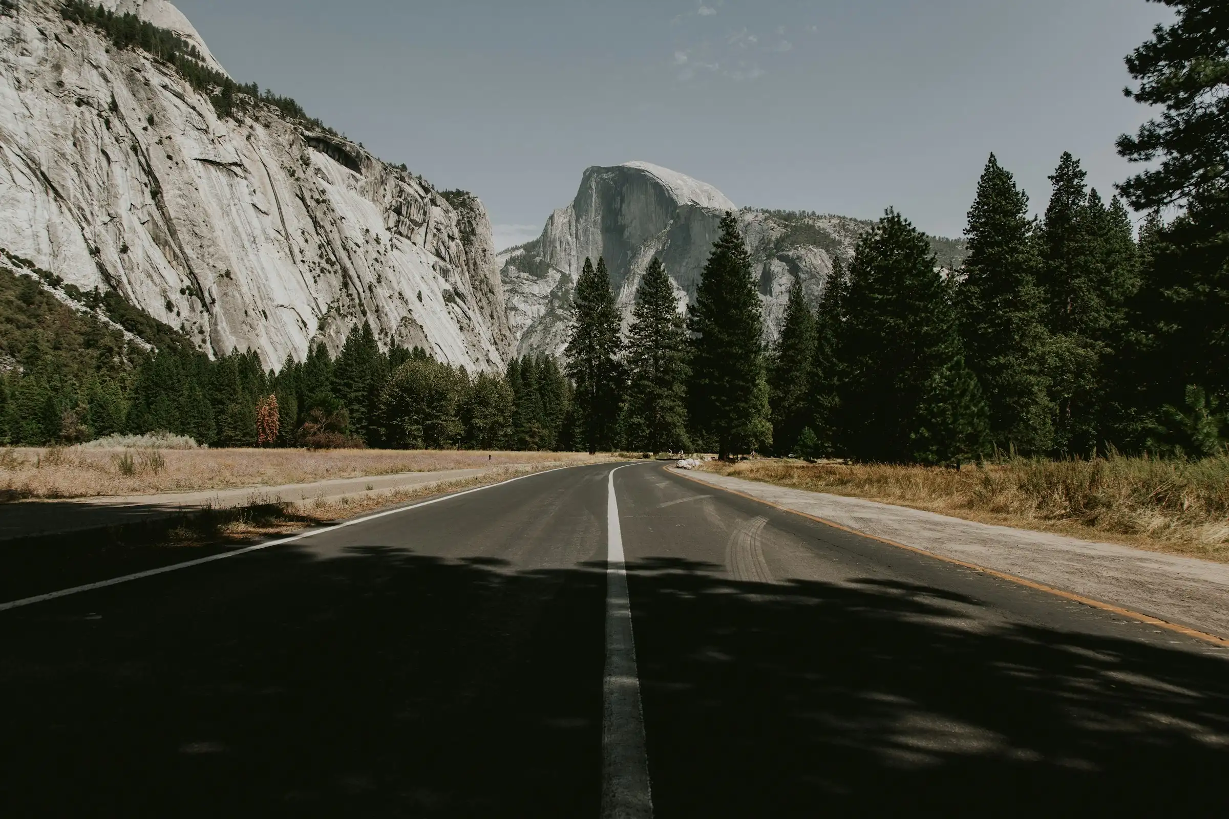
North on Highway 41, the road does some of the work for you. Whether you’re out for a cruise, seeing the granite cliffs for the first time, or fitting in a drive between wedding events, these routes give you a good look at the country around here, starting and ending every trip at Sierra Sky Ranch.
1. Glacier Point Road — Short Drive, Long View
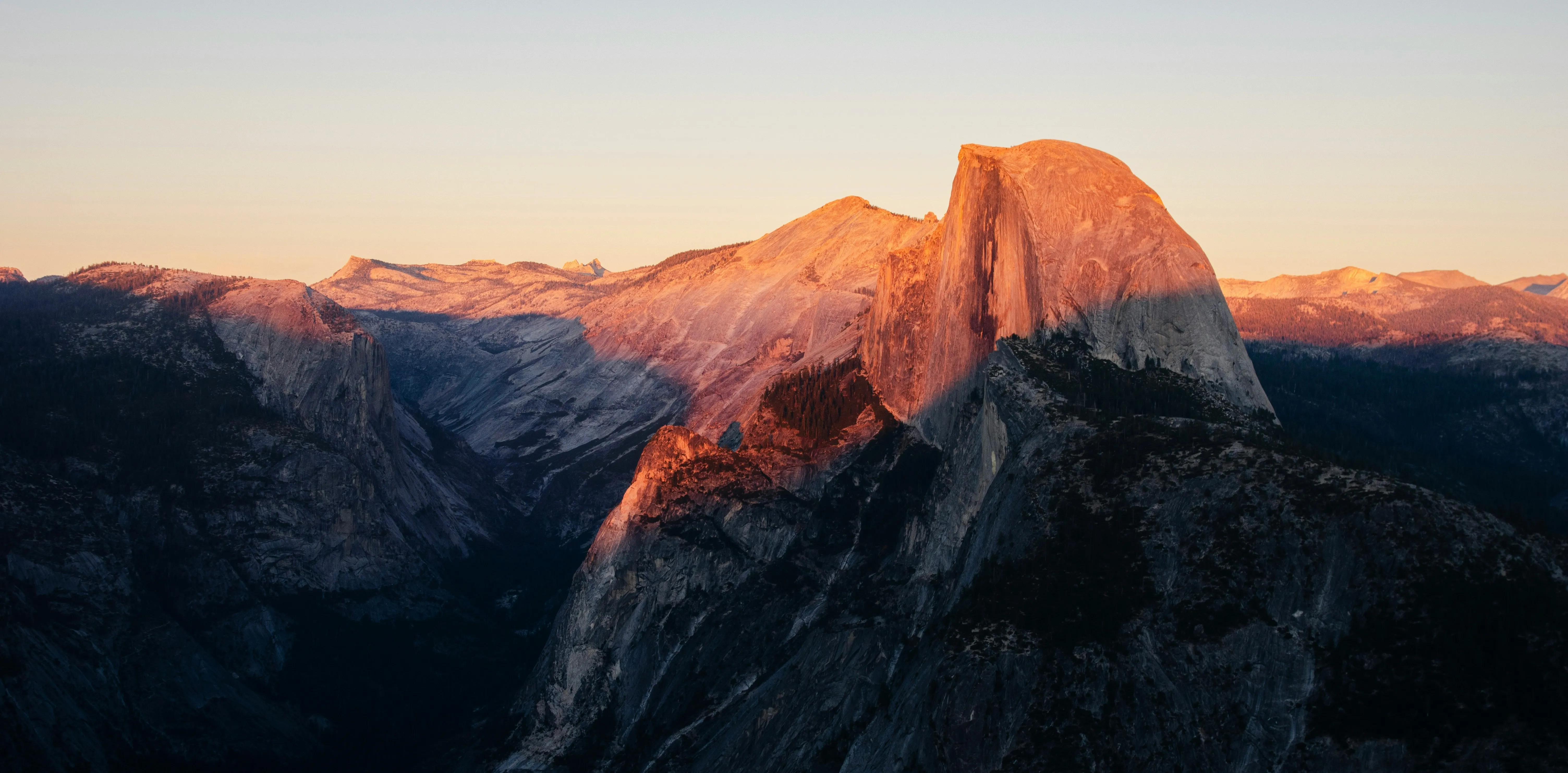
Glacier Point Road winds up through the forest and dead-ends at one of the best views in the Sierra Nevada. Half Dome, Yosemite Falls, the whole valley spread out below. Even longtime locals stop here.
Worth a stop:
- Washburn Point: A more secluded overlook a mile before the end.
- Glacier Point: Half Dome, Yosemite Falls, and the whole valley spread out below you.
2. Wawona Road — Straight Shot Through Big Landmarks
This is the road you’re already on if you’re heading into the Valley from Sierra Sky Ranch — Highway 41 north through Wawona. Steady, scenic, and full of history.
Worth a stop:
- Mariposa Grove: Home to the giant sequoias, including the Grizzly Giant. Just past the South Entrance, take the free shuttle to the arrival area.
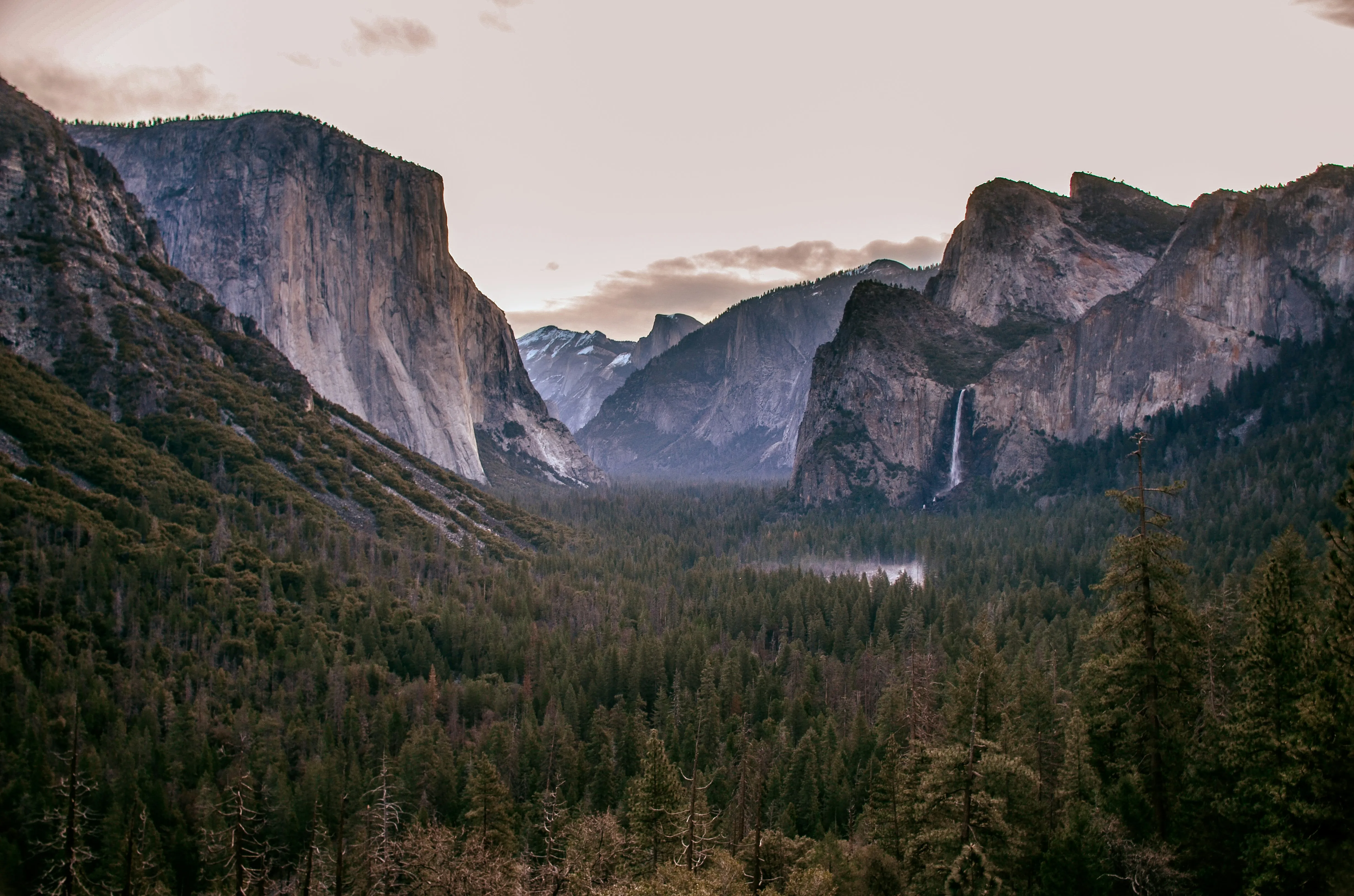
- Tunnel View: The valley opens up in front of you all at once — El Capitan on the left, Half Dome straight ahead, Bridalveil Fall on the right.
3. Tioga Pass — High Country at Its Best
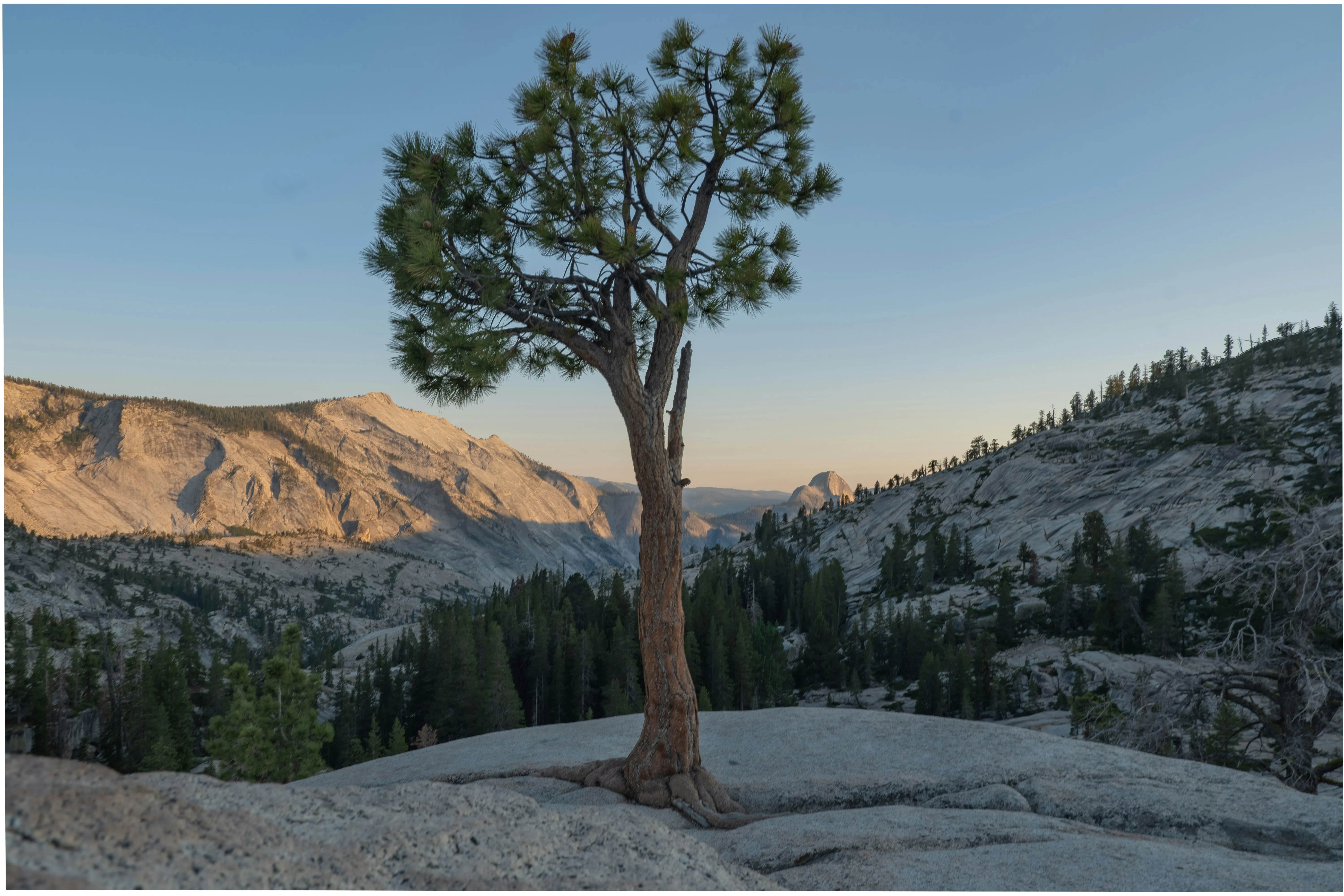
Tioga Pass (Highway 120) climbs into Yosemite’s high country, where the air cools and the granite stretches out in every direction. It’s the highest highway pass in California, and it feels like it.
Worth a stop:
- Olmsted Point: Glacier-carved rock and a long view toward Half Dome.
- Tenaya Lake: Cold, clear water. A good place to stop and eat.
- Tuolumne Meadows: Wide and remote, ringed with domes.
4. Big Oak Flat Road — A Calmer Way In
Big Oak Flat Road (Highway 120 west) comes in from the northwest, a different entry point if you want to avoid the busiest corridors during peak season.
Worth a stop:
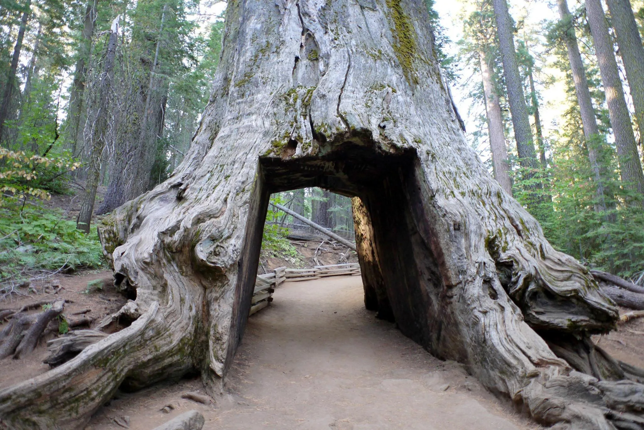
- Merced Grove: A short hike to a small, rarely-crowded sequoia grove.
- Tuolumne Grove: Another quiet grove, a bit more accessible.
5. Highway 140 — Following the River
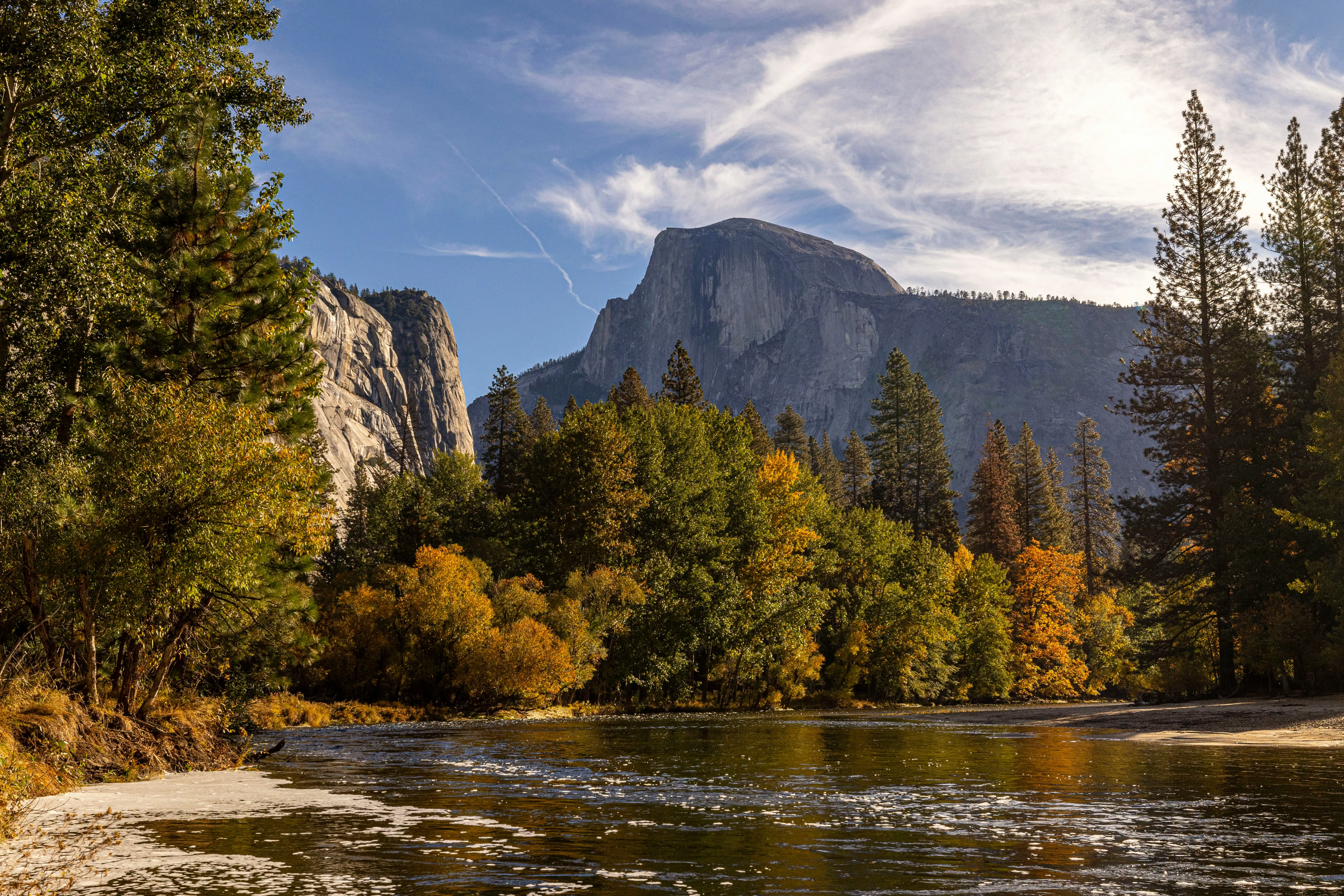
Highway 140, called the All-Weather Highway, follows the Merced River as it cuts through the canyon. It’s the lowest-elevation route into the Valley, the one that stays open when snow closes the higher passes.
Worth a stop:
- El Portal: A small historic town along the river.
- Merced River Gorge: A steep, rugged canyon just past the Arch Rock entrance.
Set Out When You’re Ready
Each of these drives shows a different side of the country around here — the high granite, the deep valley, the quiet groves, the river working its way through stone. None of them need to be rushed.
Staying at Sierra Sky Ranch puts you on the direct route to all of these scenic drives. Fill the tank, pack food and water, and check road conditions before you go.